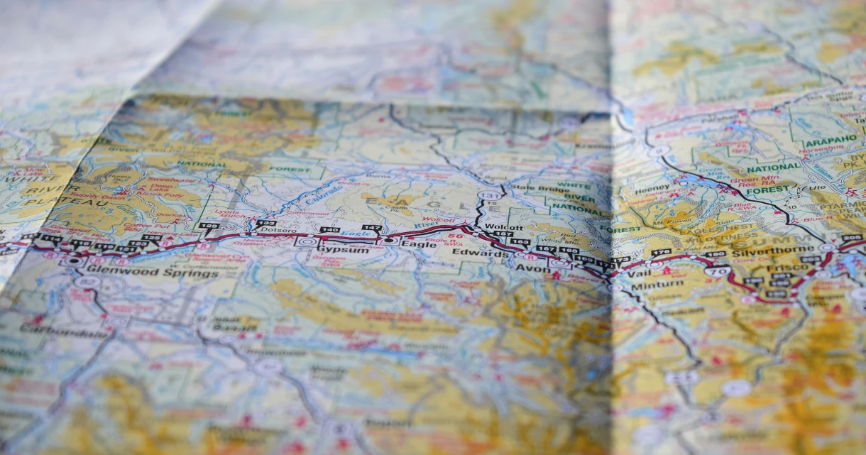
Maps and Navigation
Protege contra la(s) siguiente(s) amenaza(s):
Use a map and navigation app that doesn't build an advertising profile based on your searches and location history. Instead of using Google Maps, Apple Maps, or Waze, we recommend these privacy-respecting alternatives.
The recommendations here either do not collect any user data or at least do not collect personally identifying information (PII) based on each service's privacy policy. There is no guarantee that these privacy policies are honored.
Organic Maps

Organic Maps is an open source, community-developed map display and satnav-style navigation app for walkers, drivers, and cyclists. The app offers worldwide offline maps based on OpenStreetMap data, and navigation with privacy — no location tracking, no data collection, and no ads. The app can be used completely offline.
Features include cycling routes, hiking trails and walking paths, turn-by-turn navigation with voice guidance, and public transport route planning (only available in supported regions and cities).
Downloads
Please note that Organic Maps is a simple, basic app that lacks certain features many users might expect, such as satellite images, street view images, and real-time traffic information.
OsmAnd

OsmAnd is an offline map and navigation application based on OpenStreetMap, offering turn-by-turn navigation for walking, cycling, driving, as well as public transport. It is open-source and does not collect any user data.
Downloads
Compared to Organic Maps, OsmAnd has more features but is also more complicated to use. One noteworthy feature is the ability to overlay or underlay external map data, such as satellite images from Microsoft or traffic data from Google, although the latter is ignored by the automatic route planning. OsmAnd also has an optional integration of street view images provided by Mapillary.
Criterios
Por favor, ten en cuenta que no estamos afiliados a ninguno de los proyectos que recomendamos. Además de nuestros criterios estándar, hemos desarrollado un conjunto claro de requisitos que nos permiten ofrecer recomendaciones objetivas. Sugerimos que te familiarices con esta lista, antes de decidir utilizar un proyecto y realizar tu propia investigación para asegurarte de que es la elección ideal para ti.
Requisitos Mínimos
- No debe recopilar IIP según su política de privacidad.
- No deben exigir a los usuarios que creen una cuenta con ellos.
- Must not require users to share location data. If the user opts in to sharing their location, this data must be anonymized.
- Must retain core functionality when offline and allow users to download maps for offline use.
Mejor Caso
Nuestro criterio del mejor caso representa lo que nos gustaría ver del proyecto perfecto en esta categoría. Es posible que nuestras recomendaciones no incluyan todas o algunas de estas funciones, pero las que sí las incluyan pueden estar mejor clasificadas que otras en esta página.
- Apps should be open source.
- Should have route planning for public transport.
- Should have real-time traffic information for route planning.
- Should support advanced features such as detailed shop/point of interest (POI) information and reviews, topographic maps, and satellite and street view images.
Estás visitando la copia en Español de Privacy Guides, traducida por nuestro fantástico equipo traductor en Crowdin. ¡Si encuentras un error o ves algunas secciones sin traducir en esta página, por favor considera ayudar! Visita Crowdin
You're viewing the Spanish copy of Privacy Guides, translated by our fantastic language team on Crowdin. If you notice an error, or see any untranslated sections on this page, please consider helping out!