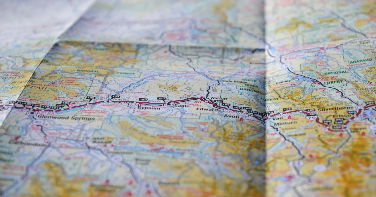
Maps and Navigation
Protects against the following threat(s):
Use a map and navigation app that doesn't build an advertising profile based on your searches and location history. Instead of using Google Maps, Apple Maps, or Waze, we recommend these privacy-respecting alternatives.
The recommendations here either do not collect any user data or at least do not collect personally identifying information (PII) based on each service's privacy policy. There is no guarantee that these privacy policies are honored.
Organic Maps

Organic Maps is an open source, community-developed map display and satnav-style navigation app for walkers, drivers, and cyclists. The app offers worldwide offline maps based on OpenStreetMap data, and navigation with privacy — no location tracking, no data collection, and no ads. The app can be used completely offline.
Features include cycling routes, hiking trails and walking paths, turn-by-turn navigation with voice guidance, and public transport route planning (only available in supported regions and cities).
Downloads
Please note that Organic Maps is a simple, basic app that lacks certain features many users might expect, such as satellite images, street view images, and real-time traffic information.
OsmAnd

OsmAnd is an offline map and navigation application based on OpenStreetMap, offering turn-by-turn navigation for walking, cycling, driving, as well as public transport. It is open-source and does not collect any user data.
Downloads
Compared to Organic Maps, OsmAnd has more features but is also more complicated to use. One noteworthy feature is the ability to overlay or underlay external map data, such as satellite images from Microsoft or traffic data from Google, although the latter is ignored by the automatic route planning. OsmAnd also has an optional integration of street view images provided by Mapillary.
Criteri
Please note we are not affiliated with any of the projects we recommend. In addition to our standard criteria, we have developed a clear set of requirements to allow us to provide objective recommendations. Ti suggeriamo di familiarizzare con questo elenco prima di scegliere di utilizzare un progetto e di condurre le tue ricerche per assicurarti che si tratti della scelta adatta a te.
Requisiti minimi
- Must not collect PII per their privacy policy.
- Must not require users to create an account with them.
- Must not require users to share location data. If the user opts in to sharing their location, this data must be anonymized.
- Must retain core functionality when offline and allow users to download maps for offline use.
Caso migliore
I nostri criteri ottimali rappresentano ciò che vorremmo vedere dal progetto perfetto in questa categoria. I nostri consigli potrebbero non includere tutte o alcune di queste funzionalità, ma quelli che le includono potrebbero essere preferiti ad altri su questa pagina.
- Apps should be open source.
- Should have route planning for public transport.
- Should have real-time traffic information for route planning.
- Dovrebbe supportare feature avanzate come negozi/punti di interesse (POI), informazioni e recensioni, mappe topografiche, satellitari e immagini street view.
Stai visualizzando la copia in Italiano di Privacy Guides, tradotta dal nostro fantastico team di lingue su Crowdin. Se noti un errore, o vedi eventuali sezioni non tradotte in questa pagina, considerare di dare una mano! Visita Crowdin
You're viewing the Italian copy of Privacy Guides, translated by our fantastic language team on Crowdin. If you notice an error, or see any untranslated sections on this page, please consider helping out!