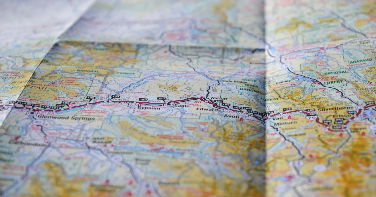
Maps and Navigation
Protects against the following threat(s):
Use a map and navigation app that doesn't build an advertising profile based on your searches and location history. Instead of using Google Maps, Apple Maps, or Waze, we recommend these privacy-respecting alternatives.
The recommendations here either do not collect any user data or at least do not collect personally identifying information (PII) based on each service's privacy policy. There is no guarantee that these privacy policies are honored.
Organic Maps

Organic Maps is an open source, community-developed map display and satnav-style navigation app for walkers, drivers, and cyclists. The app offers worldwide offline maps based on OpenStreetMap data, and navigation with privacy — no location tracking, no data collection, and no ads. The app can be used completely offline.
Features include cycling routes, hiking trails and walking paths, turn-by-turn navigation with voice guidance, and public transport route planning (only available in supported regions and cities).
Downloads
Please note that Organic Maps is a simple, basic app that lacks certain features many users might expect, such as satellite images, street view images, and real-time traffic information.
OsmAnd

OsmAnd is an offline map and navigation application based on OpenStreetMap, offering turn-by-turn navigation for walking, cycling, driving, as well as public transport. It is open-source and does not collect any user data.
Downloads
Compared to Organic Maps, OsmAnd has more features but is also more complicated to use. One noteworthy feature is the ability to overlay or underlay external map data, such as satellite images from Microsoft or traffic data from Google, although the latter is ignored by the automatic route planning. OsmAnd also has an optional integration of street view images provided by Mapillary.
Criteria
Please note we are not affiliated with any of the projects we recommend. In addition to our standard criteria, we have developed a clear set of requirements to allow us to provide objective recommendations. Wij stellen voor dat je jezelf vertrouwd maakt met deze lijst voordat je een project kiest, en jouw eigen onderzoek uitvoert om er zeker van te zijn dat je de juiste keuze maakt.
Minimale vereisten
- Must not collect PII per their privacy policy.
- Must not require users to create an account with them.
- Must not require users to share location data. If the user opts in to sharing their location, this data must be anonymized.
- Must retain core functionality when offline and allow users to download maps for offline use.
Beste geval
Onze best-case criteria geven aan wat wij zouden willen zien van het perfecte project in deze categorie. Het is mogelijk dat onze aanbevelingen geen of niet alle functies bevatten, maar degene die dat wel doen kunnen hoger gerangschikt worden dan andere op deze pagina.
- Apps should be open source.
- Should have route planning for public transport.
- Should have real-time traffic information for route planning.
- Should support advanced features such as detailed shop/point of interest (POI) information and reviews, topographic maps, and satellite and street view images.
U bekijkt de Nederlands versie van Privacy Handleidingen, vertaald door ons fantastische taalteam op Crowdin. Als u een fout, of onvertaalde secties op deze pagina ziet, overweeg dan alstublieft om te helpen! Bezoek Crowdin
You're viewing the Dutch copy of Privacy Guides, translated by our fantastic language team on Crowdin. If you notice an error, or see any untranslated sections on this page, please consider helping out!